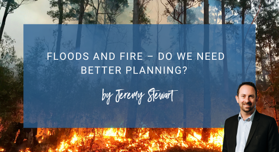
Floods and Fire – Do we need better Planning?
By Jeremy Stewart
As we come into summer, we are inundated with information from the media warning us about the prediction of very hot, dry conditions, resulting in an increase in bushfires. Likewise, when winter approaches, especially in the east coast, floods are threatening communities, year after year. I think back to 2021 and the floods that isolated the people of Elleker for weeks, and to 2018 and the bushfire in Torndirrup National Park that burnt well over 600 acres and threatened the lives and home of hundreds of residents. This begs the question, are the State and Local governments doing enough to mitigate the catastrophic effects of these weather events.
Do we need our Government to take more responsibility and consideration for planning in the areas that are more risk to floods or bushfire? This is a subject close to home, as Albany has an undulating topography, so falls into a high risk category for these weather events, both of which we have experienced first hand.
Planning is not an easy job, and not everyone is going to be happy, but it is imperative to find a balance. Planners have many different factors to consider, and the general public very rarely have access to the kinds of information that they rely on to make important decisions relating to bushfire and flood plans. I wonder, however, if the Planning departments are too reliant on current policies and red tape, rather than taking a hands on approach. By visiting the areas that are at risk and talking to the people directly effected by these decisions, could they come up with an easier, common sense solution?
Recently, I had a client experience this red tape and bureaucracy first hand, when they were asked to provide a non vehicle access lane for a land development. After having the requirements for this changed multiple times, the relevant City of Albany employee finally attended a site inspection, only to realize that the area was on a sloping site! This caused significant delays, cost and stress to the developer, who then had to make further amendments to satisfy the City’s conditions. Had the City had someone attend the site in the first instance, rather than relying on the mapping systems and plans, so much time, energy and cost could have been saved. They would have had a much better, first hand understanding of the area and the risks associated with the sloping site, drainage, flood prone areas and bushfire risks by seeing the property in person.
Hindsight is a wonderful thing. Having the knowledge that we do now, I doubt that many areas that are currently developed would be approved today due the to risk of bushfires and flooding. I look around the many areas of Albany, and am concerned for many properties, as we are at risk of both of these events. The question remains – should houses have ever been allowed to be built in these areas? Changes to the Building Codes and bushfire compliance and awareness over the last decade has helped to combat some aspects of the risk, however the government on all levels needs to get on board to reduce the risk even further. I hope that this can make way for a broader discussion on the topic.